
Welcome to Bury Ramblers
Bury Ramblers Group is part of the Greater Manchester & High Peak Area of the Ramblers. We have approximately 170 members. However, we are always ready to welcome new members. We organise walks in some of the finest countryside in the North of England where there is an extensive network of footpaths. We organise all-day walks on most Sundays of the year. The group size on our walks is usually between 10 and 20. Walks are advertised in the Walks programme page and includes any late changes or cancellations to walks. If you are new to walking you can join us on up to three of our walks before deciding if you would like to become a member of Ramblers.
If you choose to join The Ramblers you are allocated to a local group based on your postcode (unless you choose otherwise). This doesn’t mean you can only walk with that group. You can walk with any other group you choose.
Latest Walk Reports
Waterfoot Circular
- Walk Date: 2026-10-18
- Walk Distance: 7.5 miles
- Walk Grade: Moderate
- Walk Leader: Malcolm Chester
- Number of Walkers: 13
- Weather Conditions: Dry, Sunny, Cold
Click Photo for Closeup


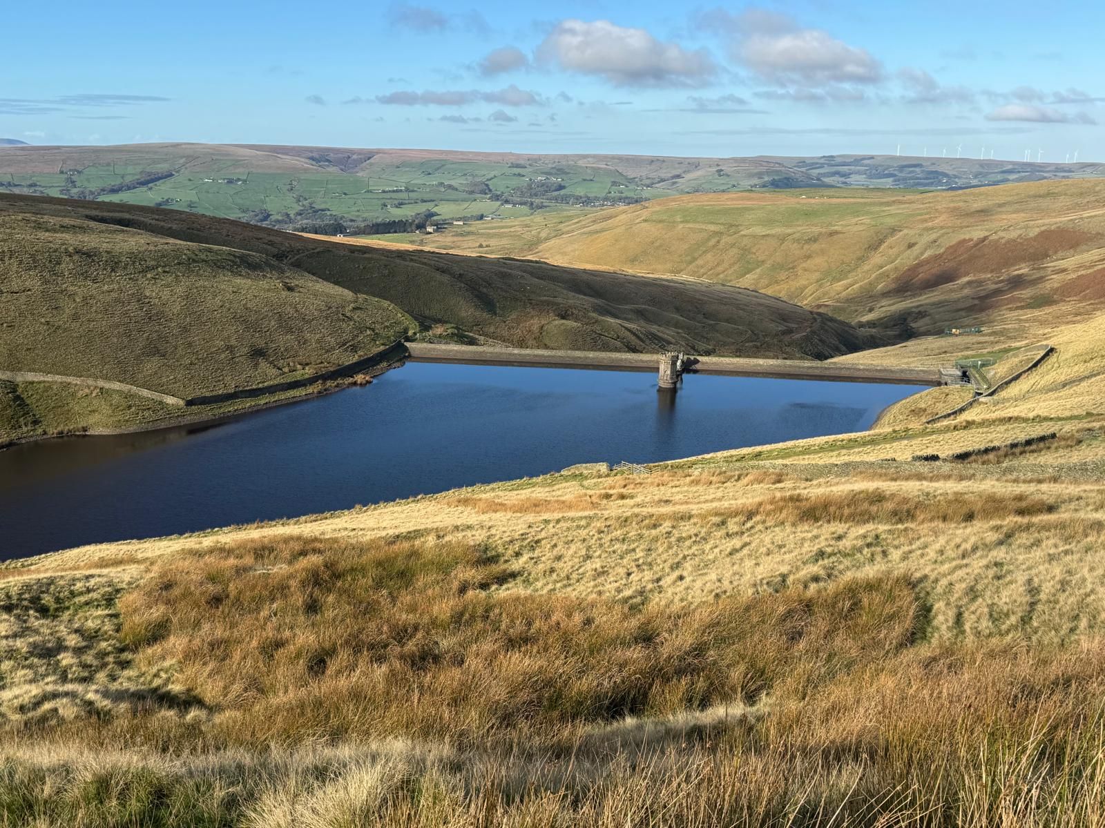
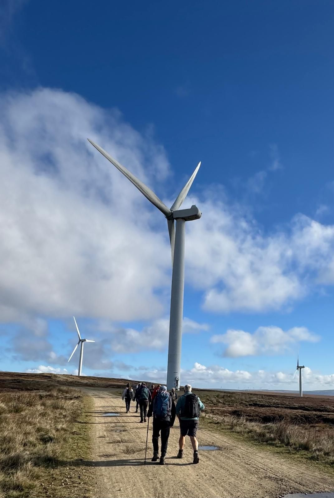

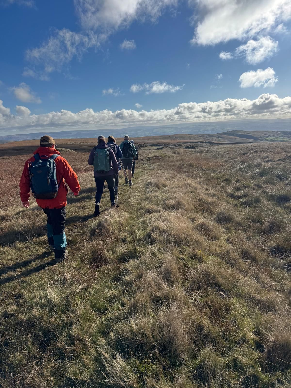
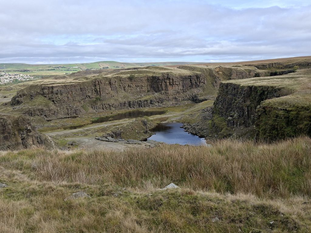
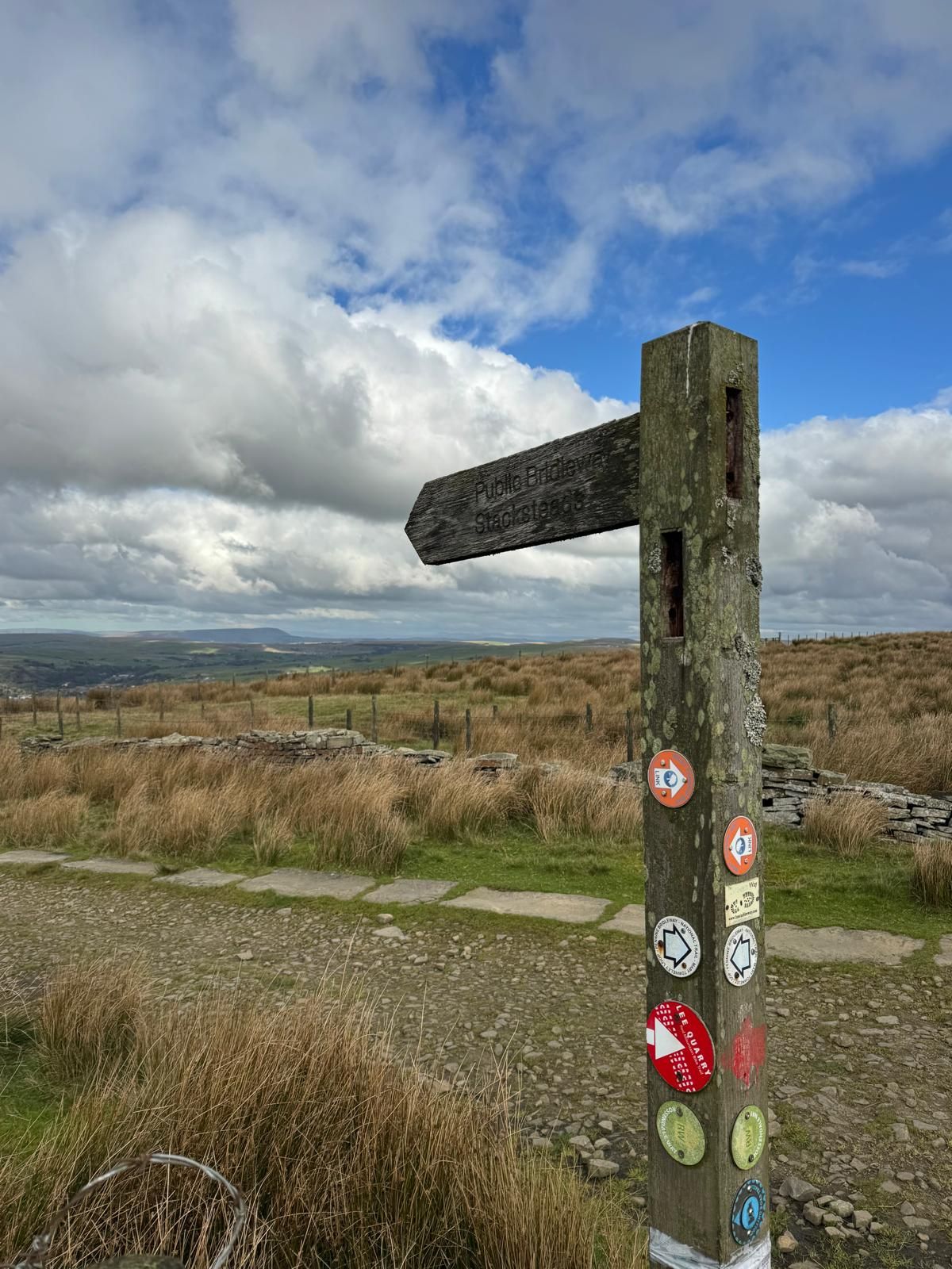
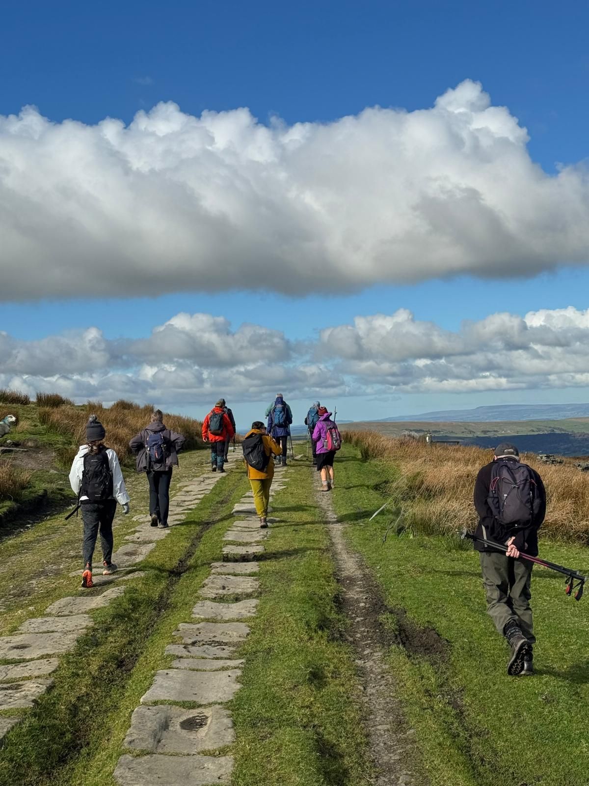

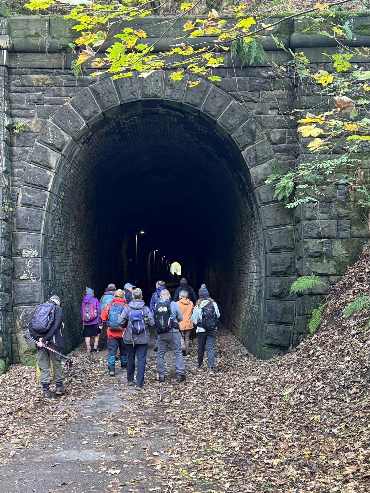
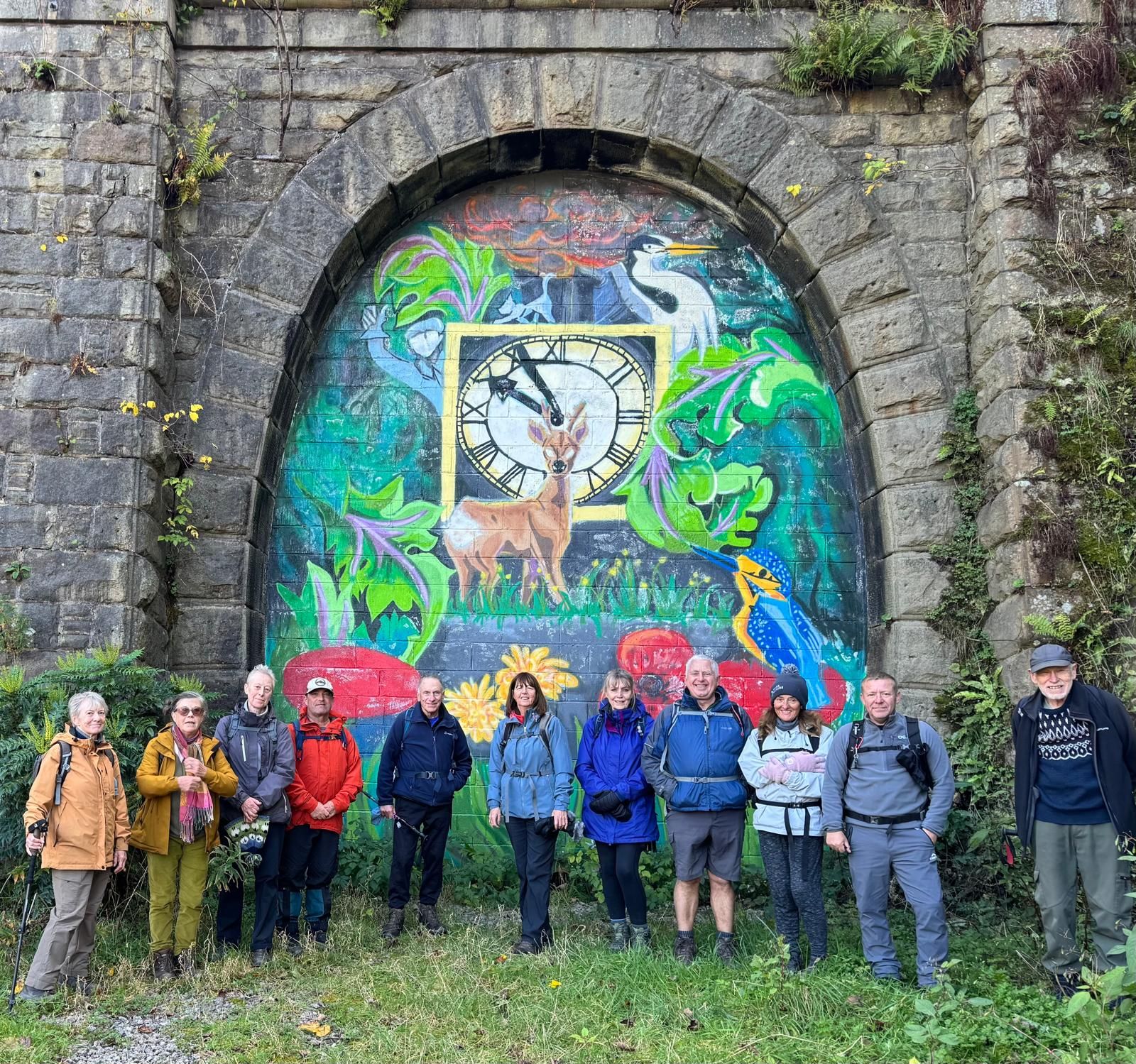

Starting from Waterfoot, Malcolm led a group of 13 walkers on a 7.5 mile walk following sections of The Pennine Bridleway. We started with a steep climb up on to the moor, then onto Waugh's Well, where we stopped for the morning break. After the break, we continued up a rocky path and past a line of wind turbines towards Ding Quarry. After descending into the quarry, we carried on to the junction with Rooley Moor road. Here we turned north along the road, stopping just below Top of Leach for the lunch break. After lunch, the group descended to Stackheads in the Rossendale valley, then along the Rossendale way through the dramatic Thrutch gorge along the renovated cycle way, passing through the Newchurch railway tunnels running beside the River Irwell back to the start.
- Details
- Category: Walk Reports 2026
Embsay with Eastby
- Walk Date: 2026-09-27
- Walk Distance: 10.3 miles
- Walk Grade: Moderate/Strenuous
- Walk Leader: Wayne Currie
- Number of Walkers: 8
- Weather Conditions: Dry, Windy, Cloudy, Cool
Click Photo for Closeup


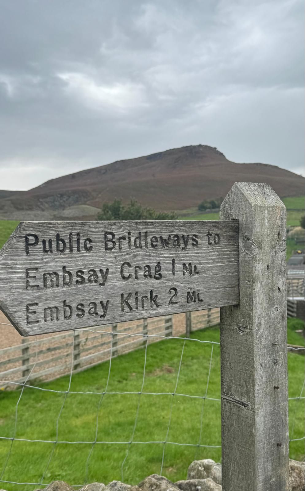
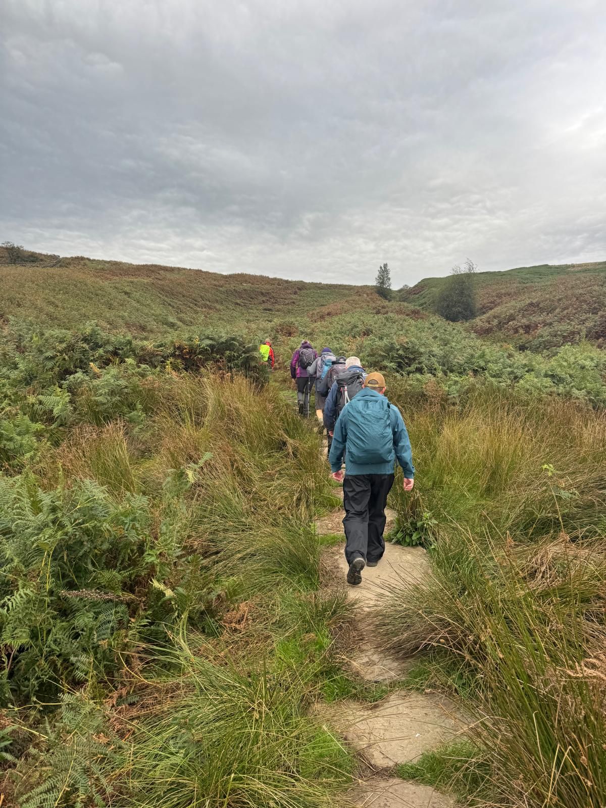
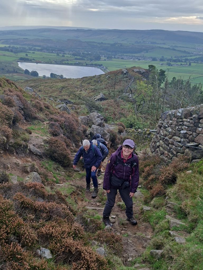
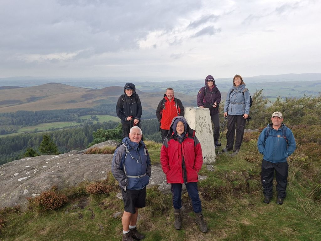
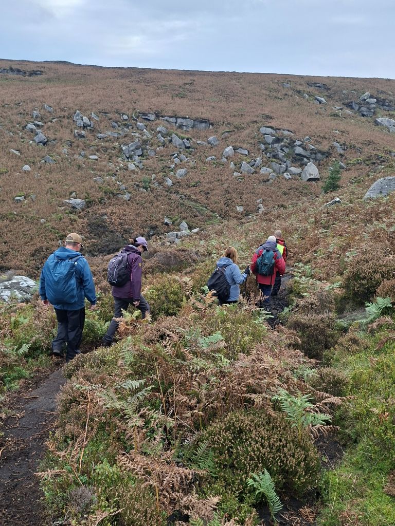

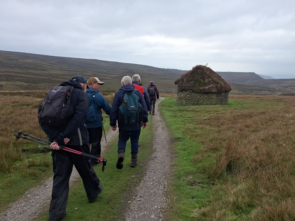
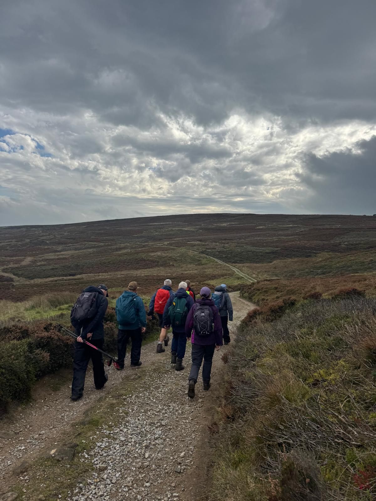
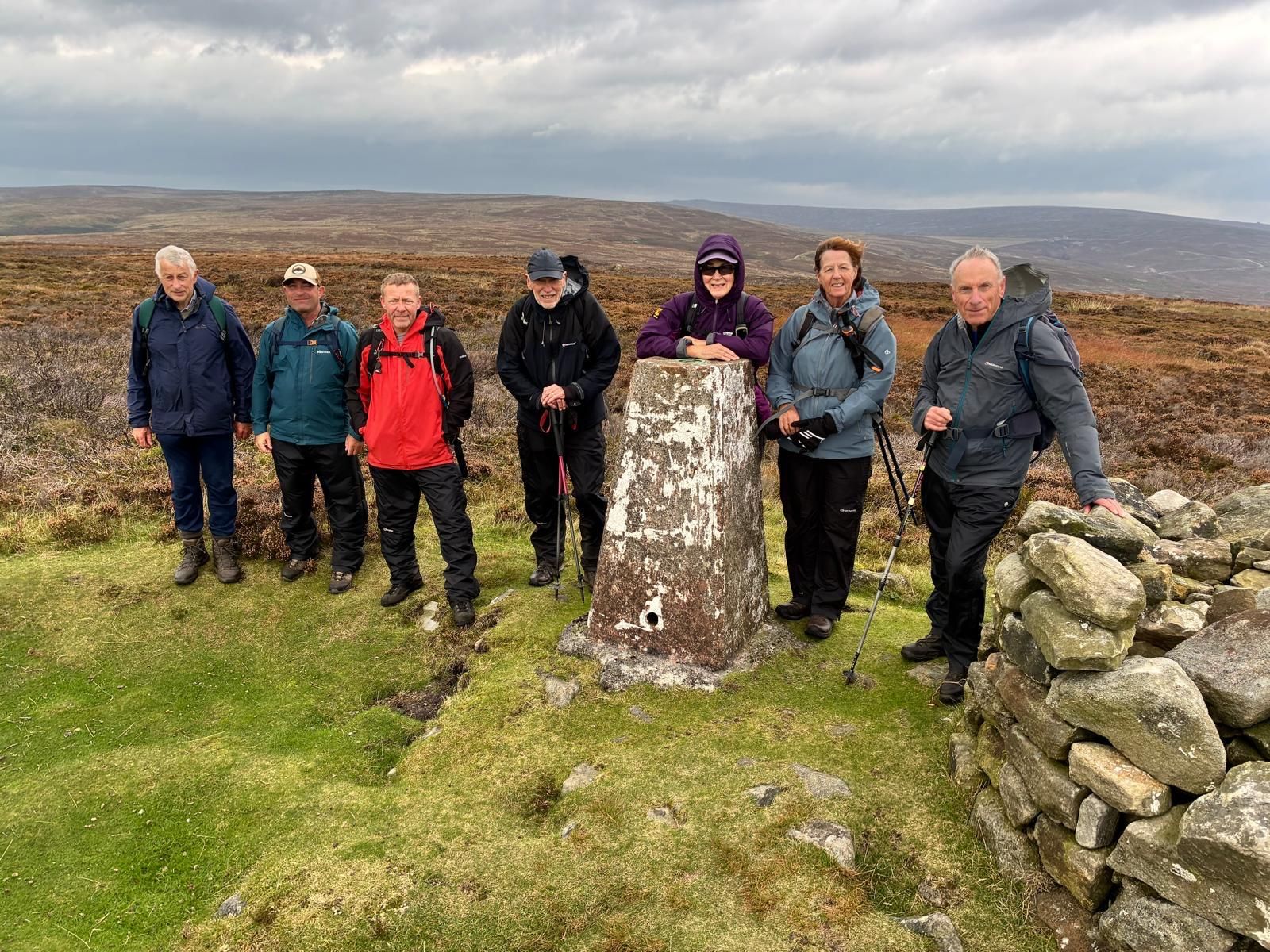

On a cool, overcast Sunday morning with rain forecast, Wayne led a group of 8 walkers on a 10.3 mile walk on the moors above Embsay, used for grouse shooting, with two climbs to trig points and a surprise place to have lunch.
Starting from Embsay village car park, we walked across fields to Embsay Reservoir, followed by a climb up to the first trig point at Crookwise Crag Top, where we stopped for the morning break. We then continued to Hellifield Crag and down across Waterfall Gill Beck. We stopped at the beck for photos, then climbed up again to cross the moor on tracks to Brown Bank for the lunch stop at a shooting lodge used for grouse shooting. After lunch, we continued on tracks across the moor and down to Halton Moor, followed by a climb up to High Crag and the second trig point. The return leg was via Easty Gate and Eastby back to the start.
After the walk, some of the group went to the Elm Tree Inn in the village for drinks.
- Details
- Category: Walk Reports 2026