
Walk Reports 2026
Marsden Circular 2
- Walk Date: 2026-11-01
- Walk Distance: 8 miles
- Walk Grade: Moderate/Strenuous
- Walk Leader: Vincent Touhy
- Number of Walkers: 11
- Weather Conditions: Dry, Misty, Cool
Click Photo for Closeup


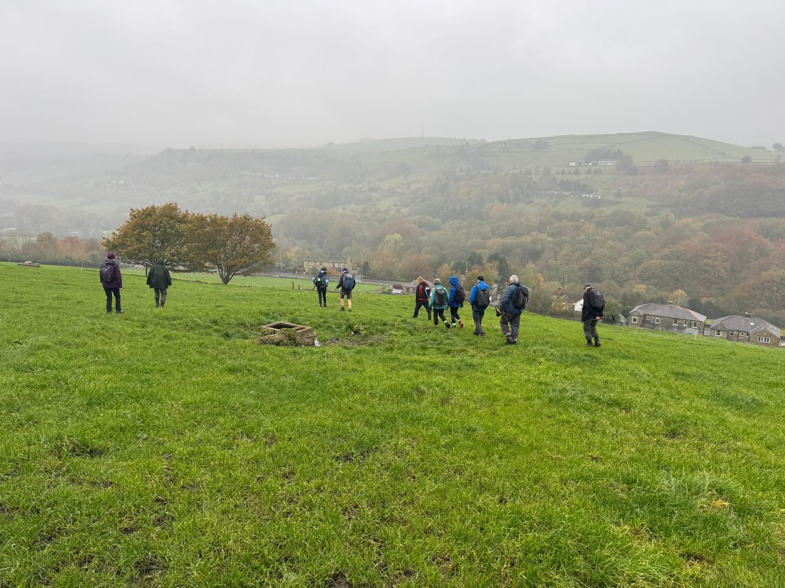

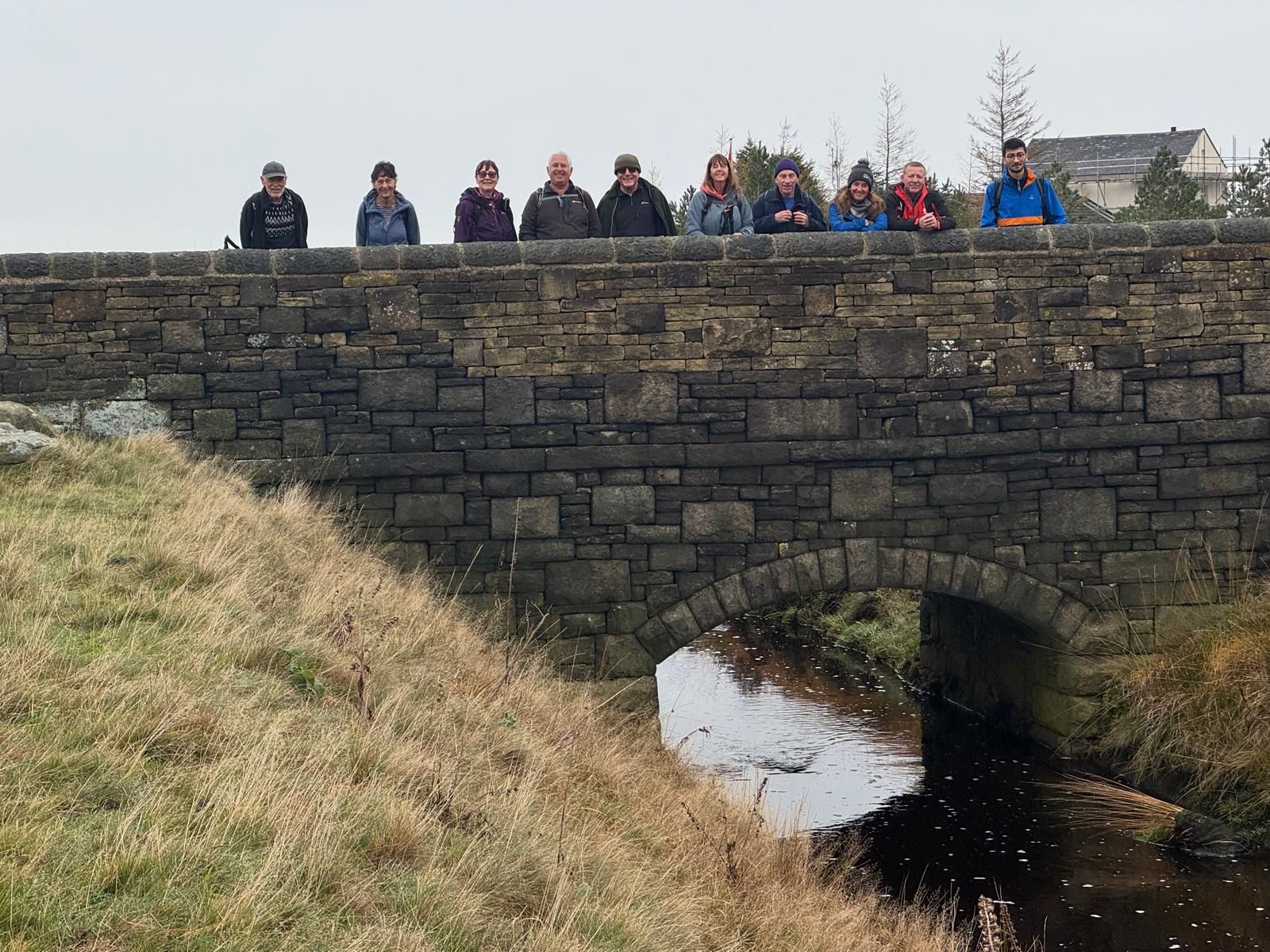

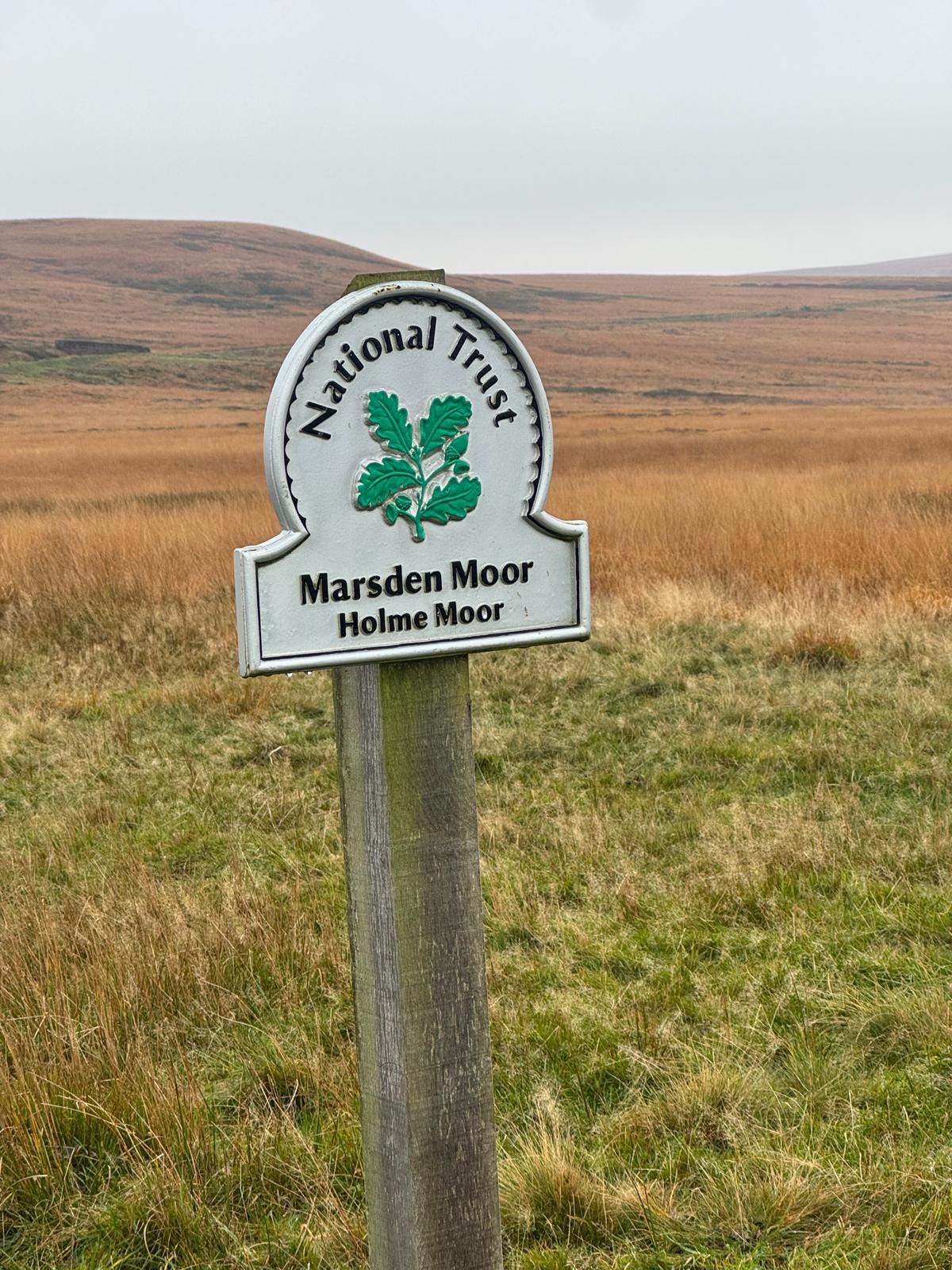
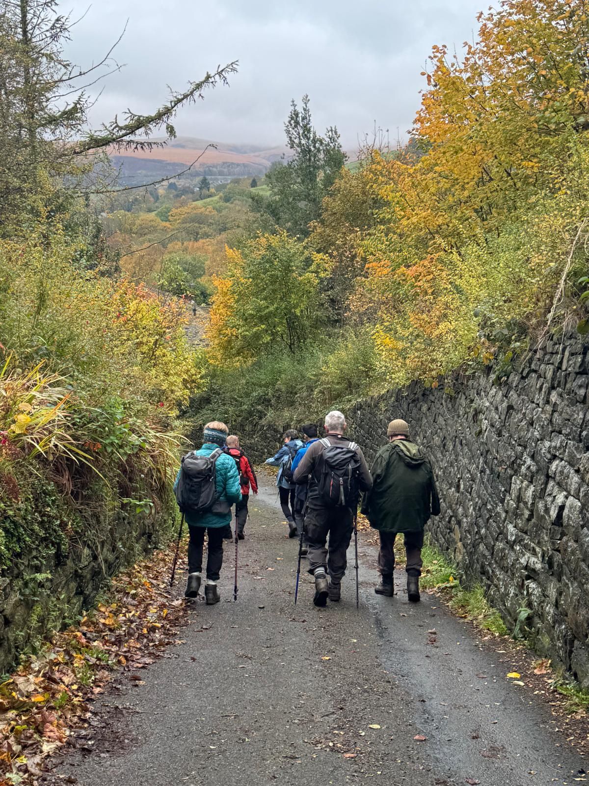


On a cool, misty day, Vincent Touhy led a group of eleven walkers on an interesting 8‑mile moderate-to-strenuous walk from Marsden. From St. Bartholomew's church in Marsden the route started with a climb up on to Holme Moor past a firing range to Deer Hill Reservoir for the morning break. From the reservoir, the group continued to Holt Head before descending to the Huddersfield Narrow Canal for the lunch break.
After lunch, the group continued along the Huddersfield Narrow Canal before climbing up towards Netherwood farm, then returned through woodland and lanes back into Marsden and a well-earned drink at The Railway pub.
- Details
- Category: Walk Reports 2026
Waterfoot Circular
- Walk Date: 2026-10-18
- Walk Distance: 7.5 miles
- Walk Grade: Moderate
- Walk Leader: Malcolm Chester
- Number of Walkers: 13
- Weather Conditions: Dry, Sunny, Cold
Click Photo for Closeup


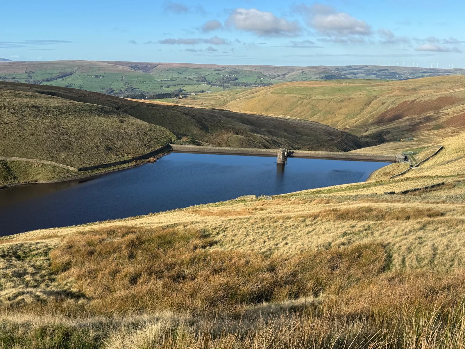
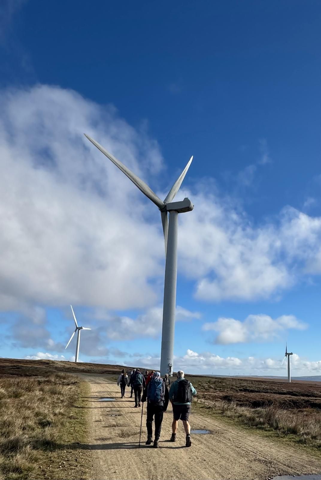

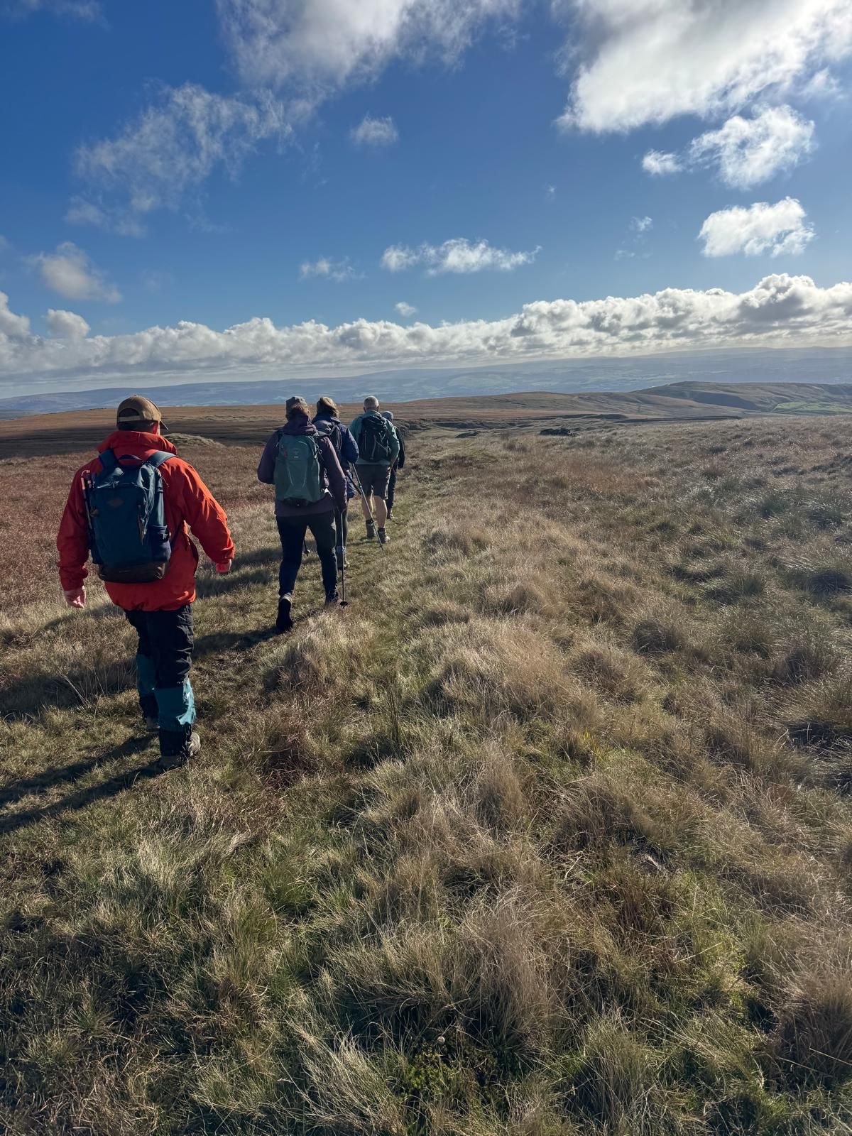
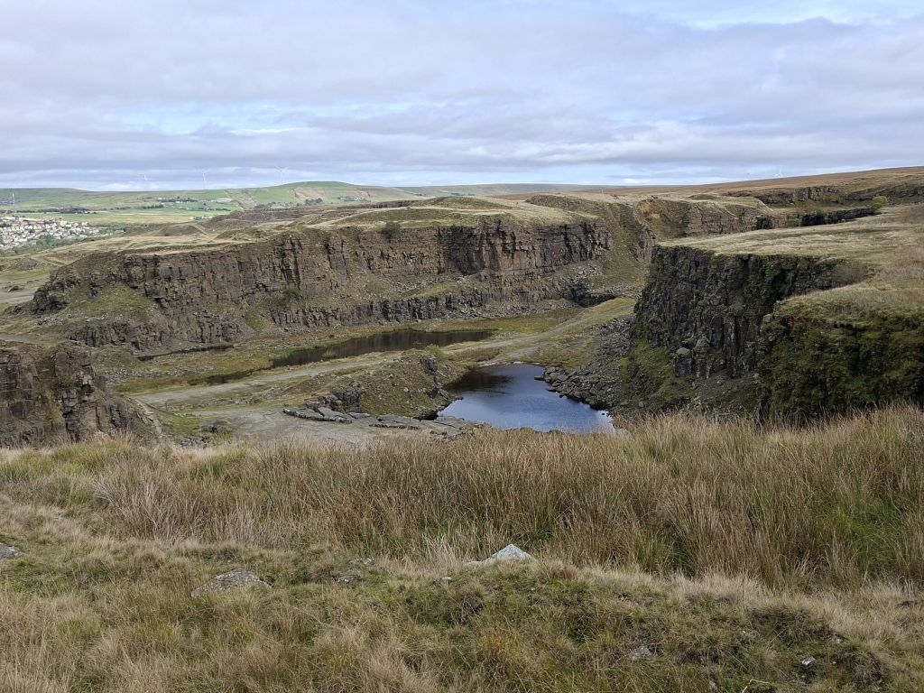
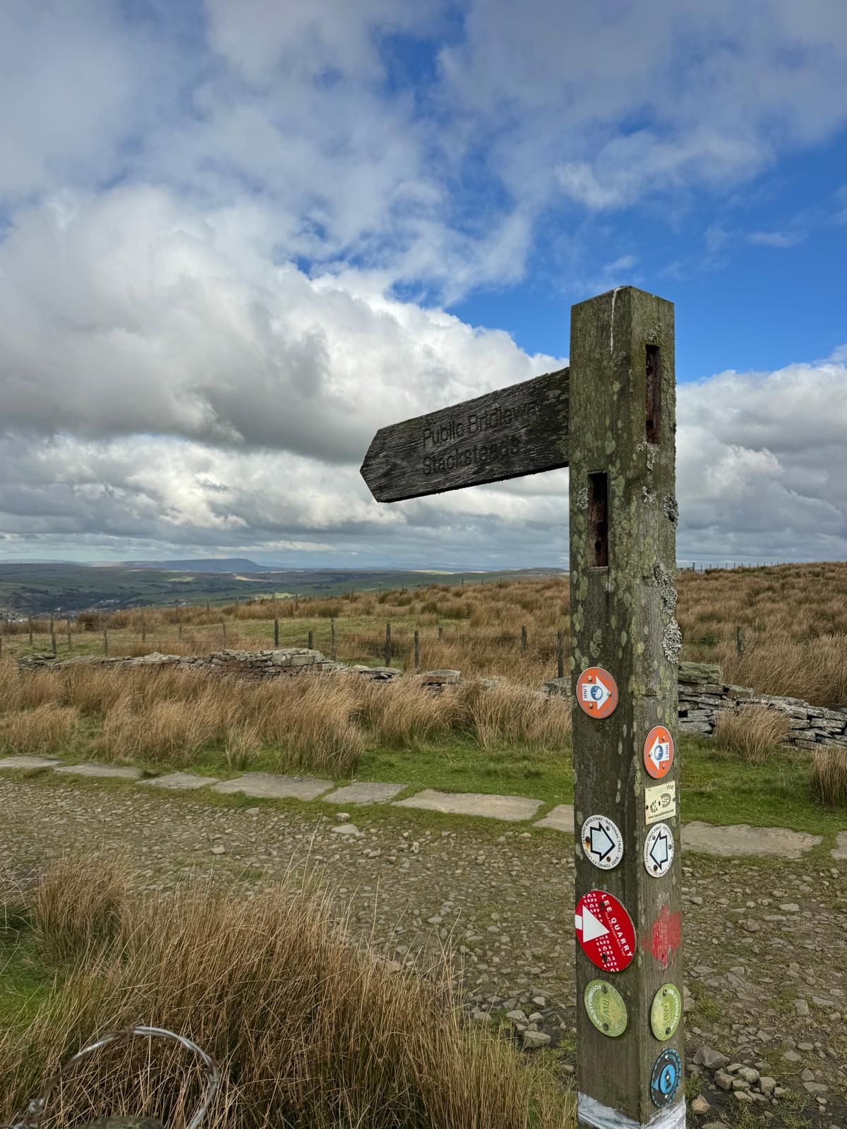
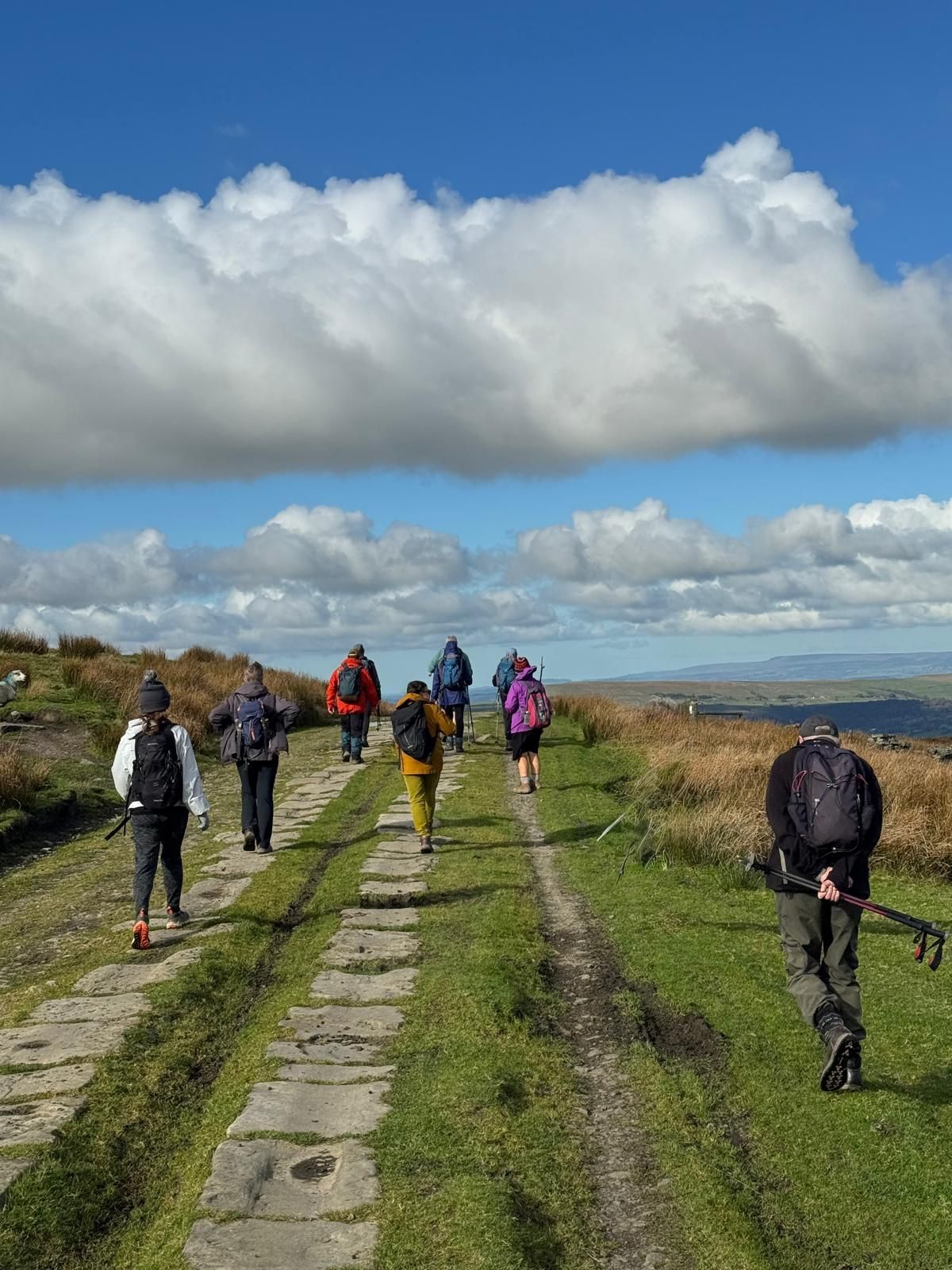

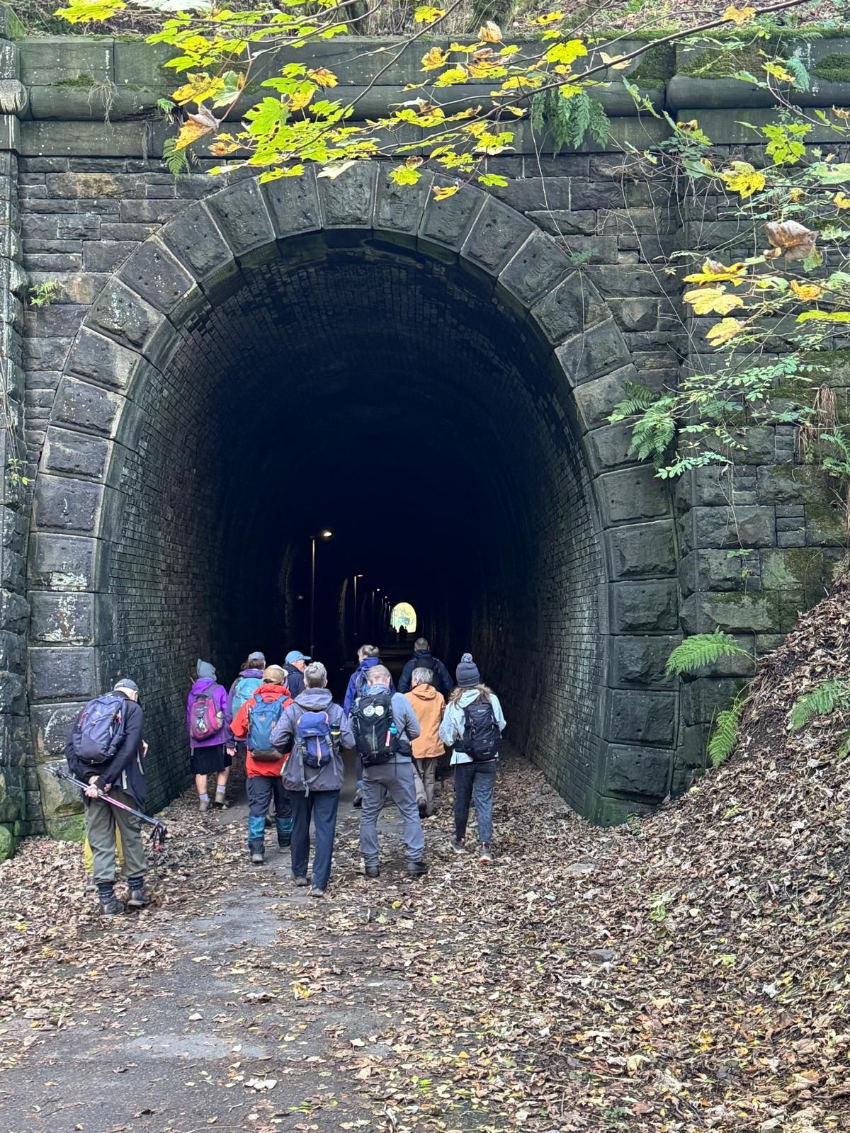
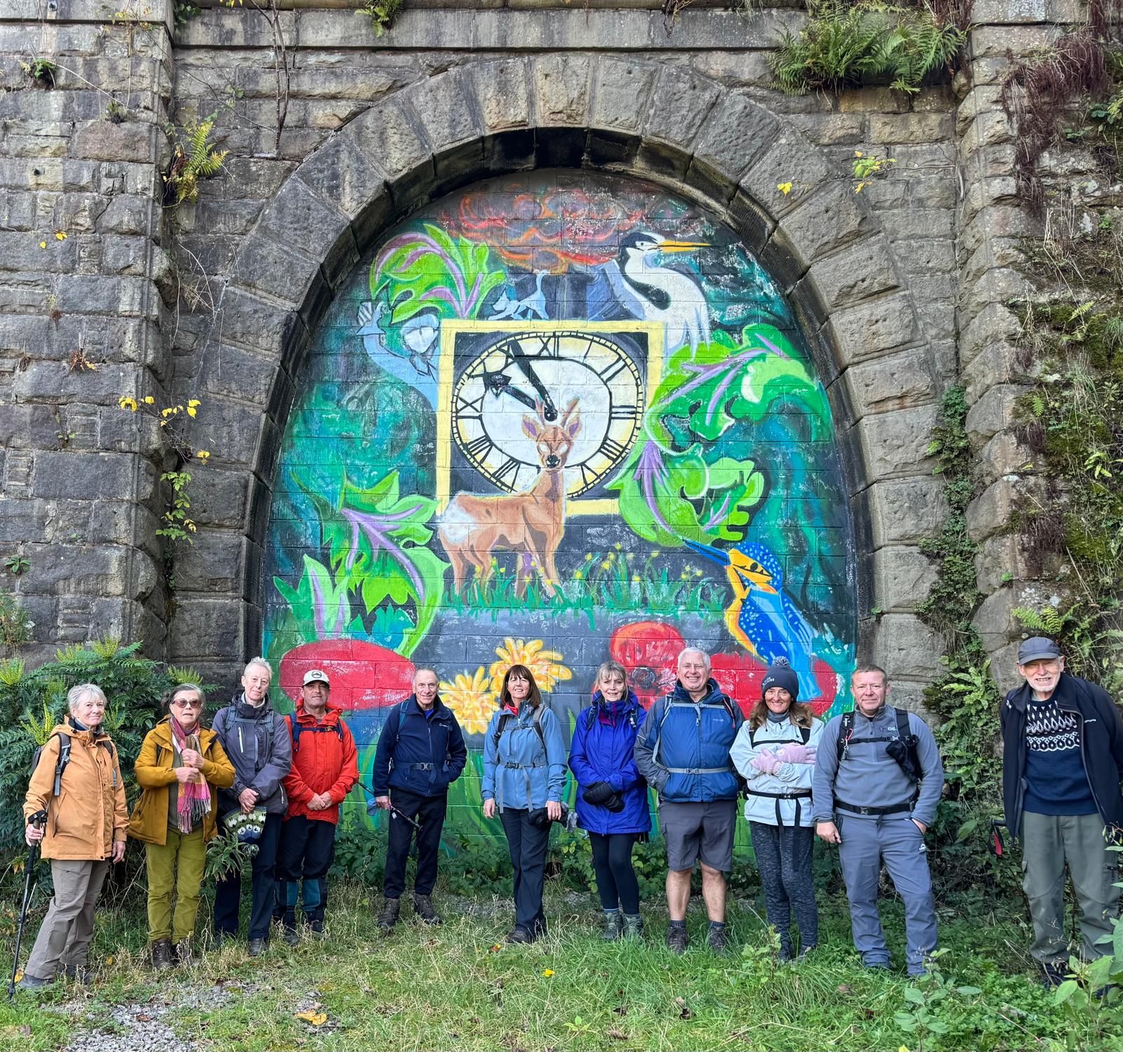

Starting from Waterfoot, Malcolm led a group of 13 walkers on a 7.5 mile walk following sections of The Pennine Bridleway. We started with a steep climb up on to the moor, then onto Waugh's Well, where we stopped for the morning break. After the break, we continued up a rocky path and past a line of wind turbines towards Ding Quarry. After descending into the quarry, we carried on to the junction with Rooley Moor road. Here we turned north along the road, stopping just below Top of Leach for the lunch break. After lunch, the group descended to Stackheads in the Rossendale valley, then along the Rossendale way through the dramatic Thrutch gorge along the renovated cycle way, passing through the Newchurch railway tunnels running beside the River Irwell back to the start.
- Details
- Category: Walk Reports 2026
Hague Bar Circular
- Walk Date: 2026-10-11
- Walk Distance: 9 miles
- Walk Grade: Moderate
- Walk Leader: Tracey Parton
- Number of Walkers: 8
- Weather Conditions: Dry, Cool
Click Photo for Closeup


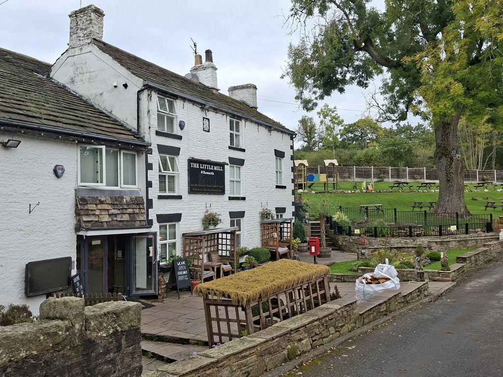
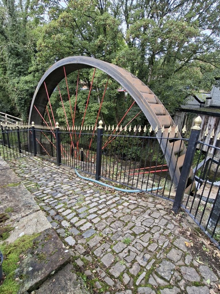

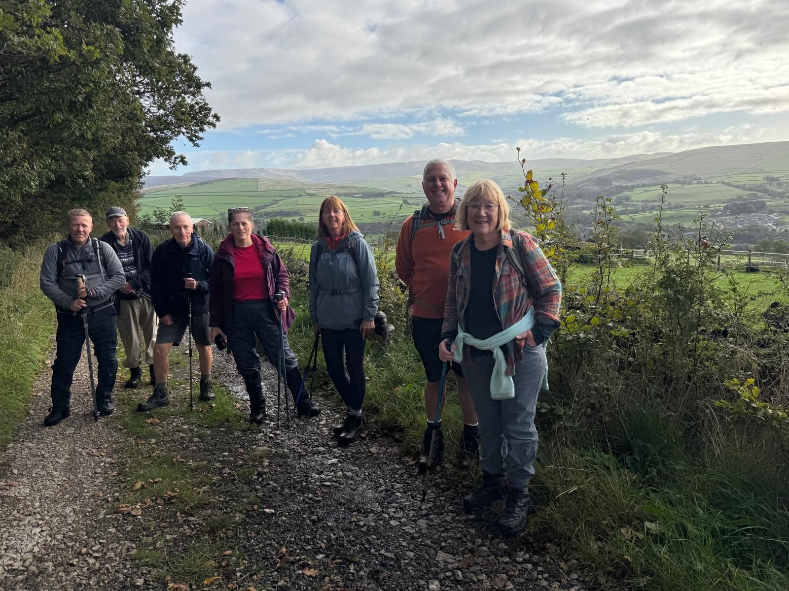
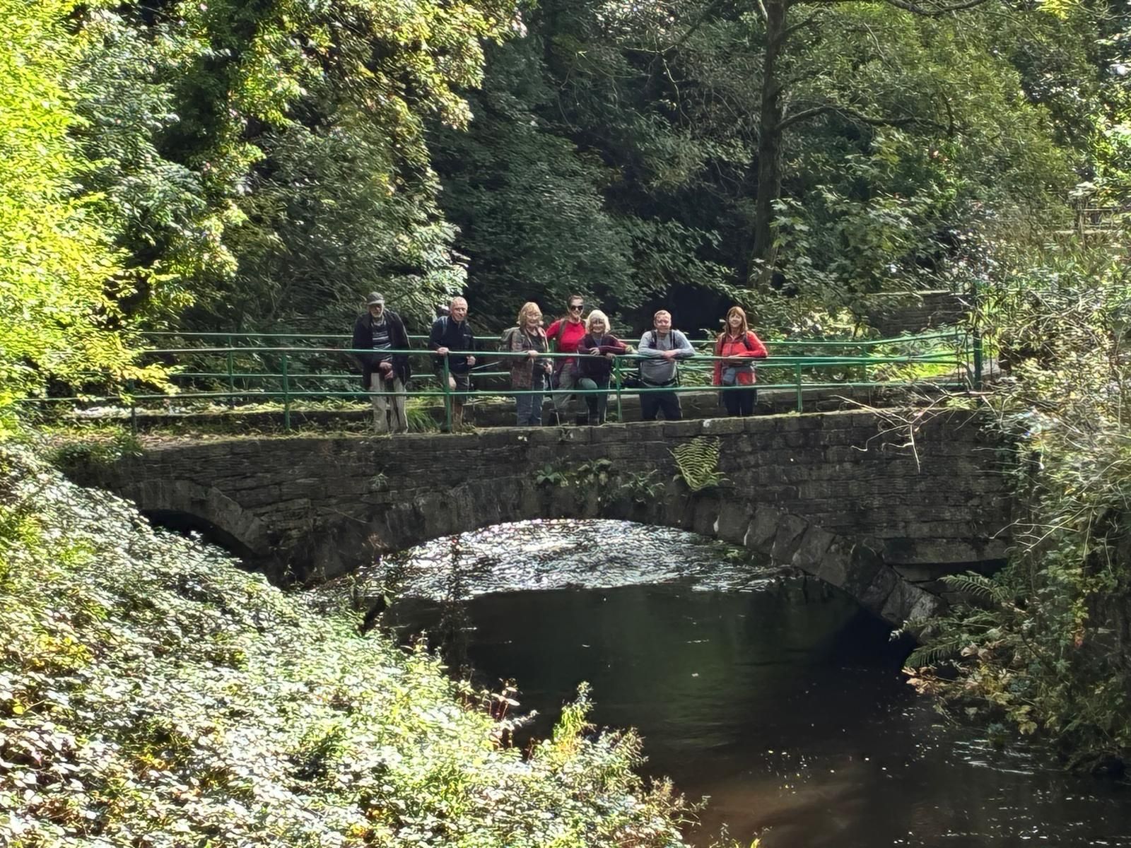
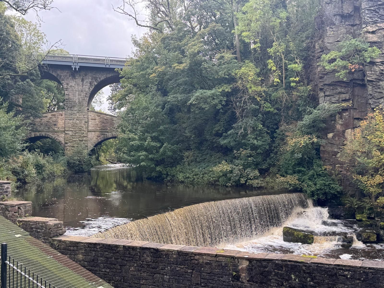
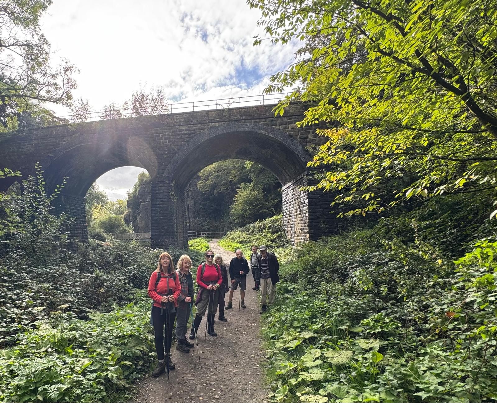


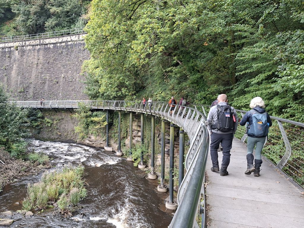
This circular route began in Hague Bar, following quiet lanes and paths as we climbed steadily, gaining good views across to Cown Edge. From here the route continued north‑east on field paths and tracks, rising onto the moorland before descending to The Little Mill Inn tucked in the valley near Rowarth.
The middle section of the walk explored the rolling countryside around Rowarth, with a mix of pasture, woodland edges, and open views towards Kinder Scout. Turning south‑west, the route descended towards Thornsett, picking up The Sett Valley Trail that leads into the outskirts of New Mills.
After stopping for lunch at The Torrs Riverside Park picnic area near the river Goyt, the final stretch crossed the Millennium Walkway, then followed The Midshire Way, a combination of riverside and woodland paths back towards Hague Bar, completing a varied and rewarding walk with a blend of rural scenery and classic High Peak landscapes.
- Details
- Category: Walk Reports 2026
Embsay with Eastby
- Walk Date: 2026-09-27
- Walk Distance: 10.3 miles
- Walk Grade: Moderate/Strenuous
- Walk Leader: Wayne Currie
- Number of Walkers: 8
- Weather Conditions: Dry, Windy, Cloudy, Cool
Click Photo for Closeup


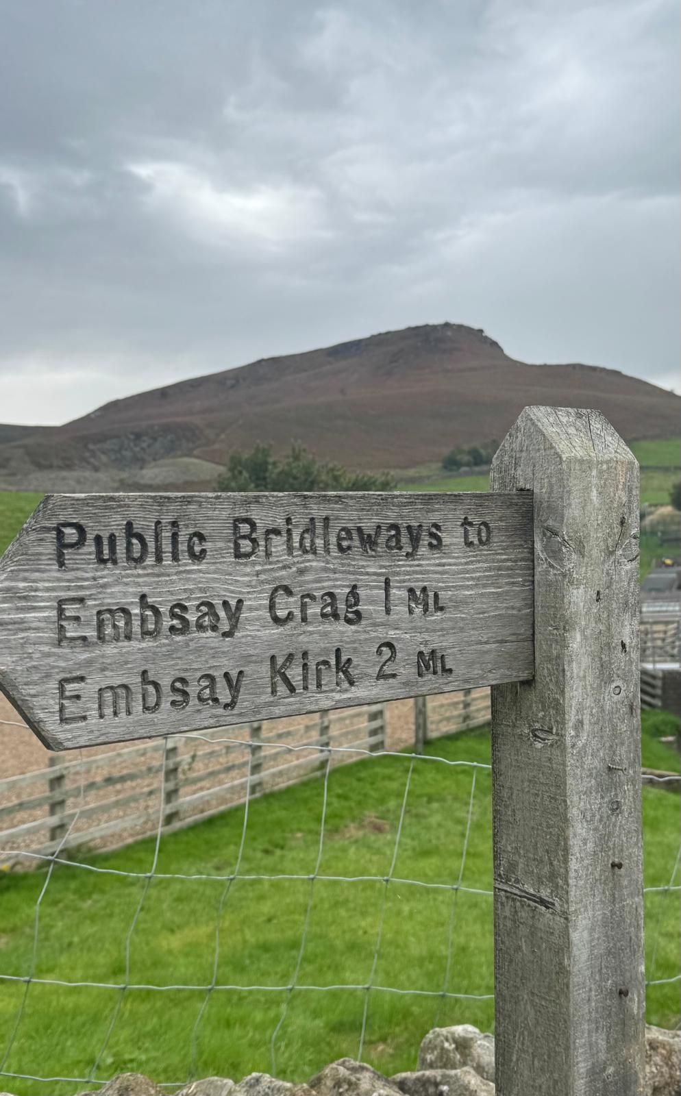
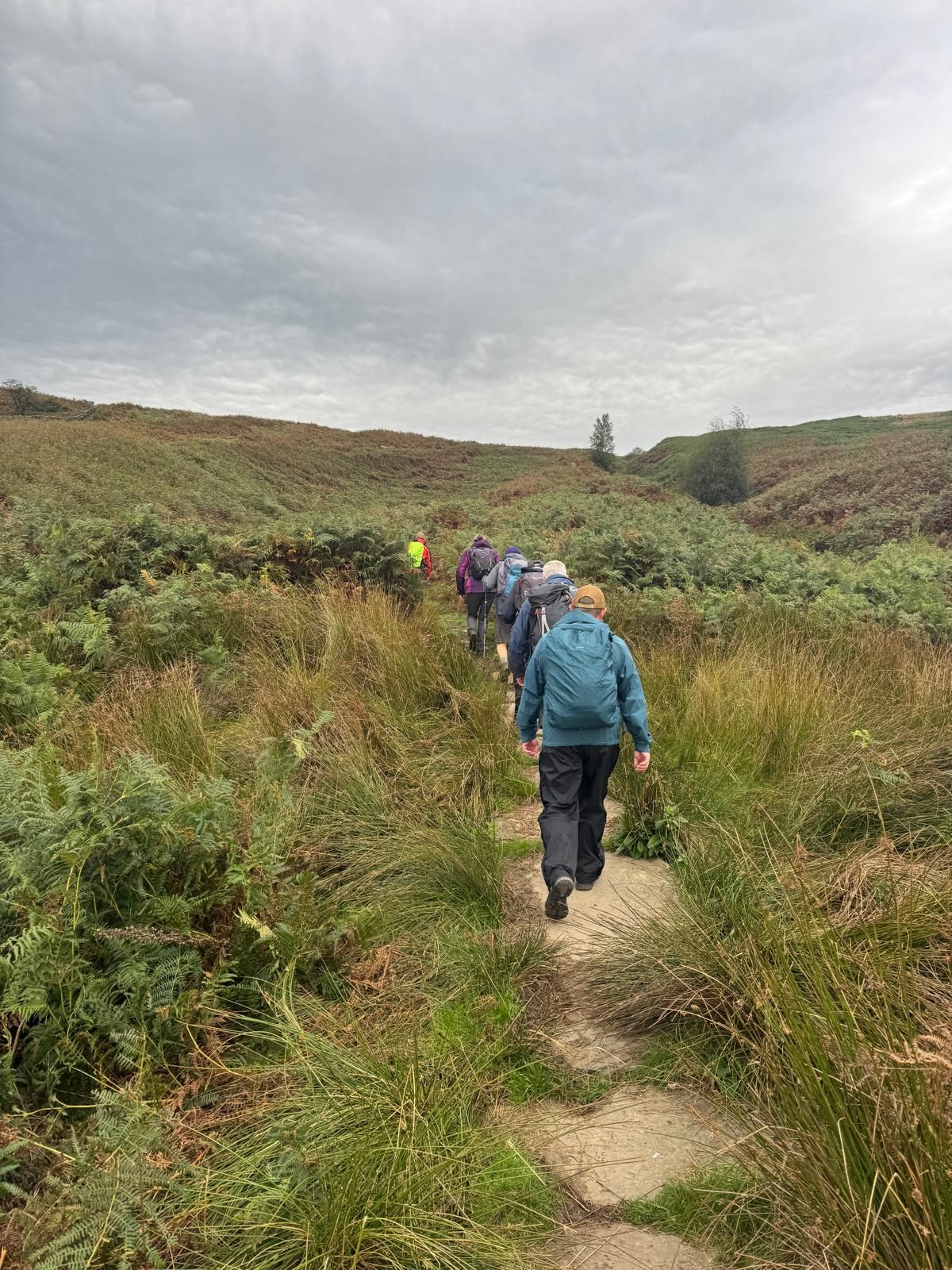
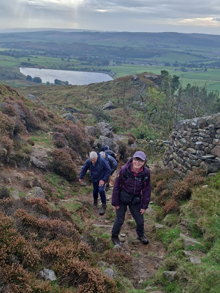
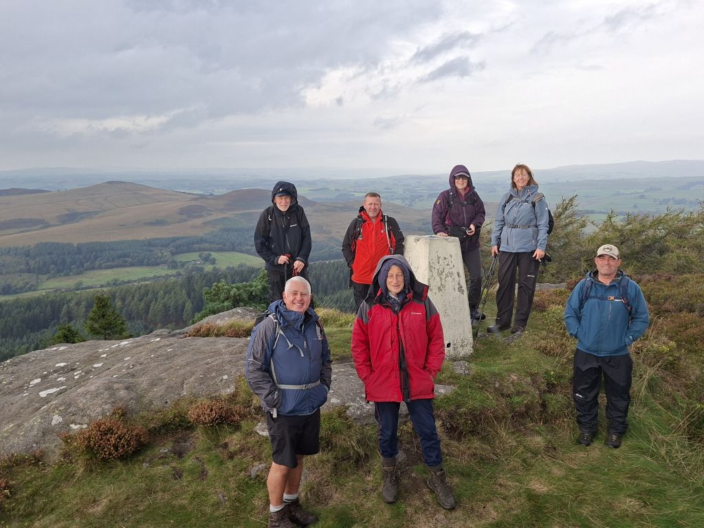
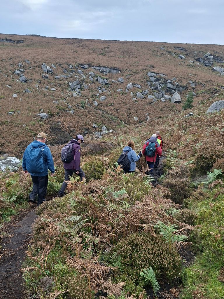

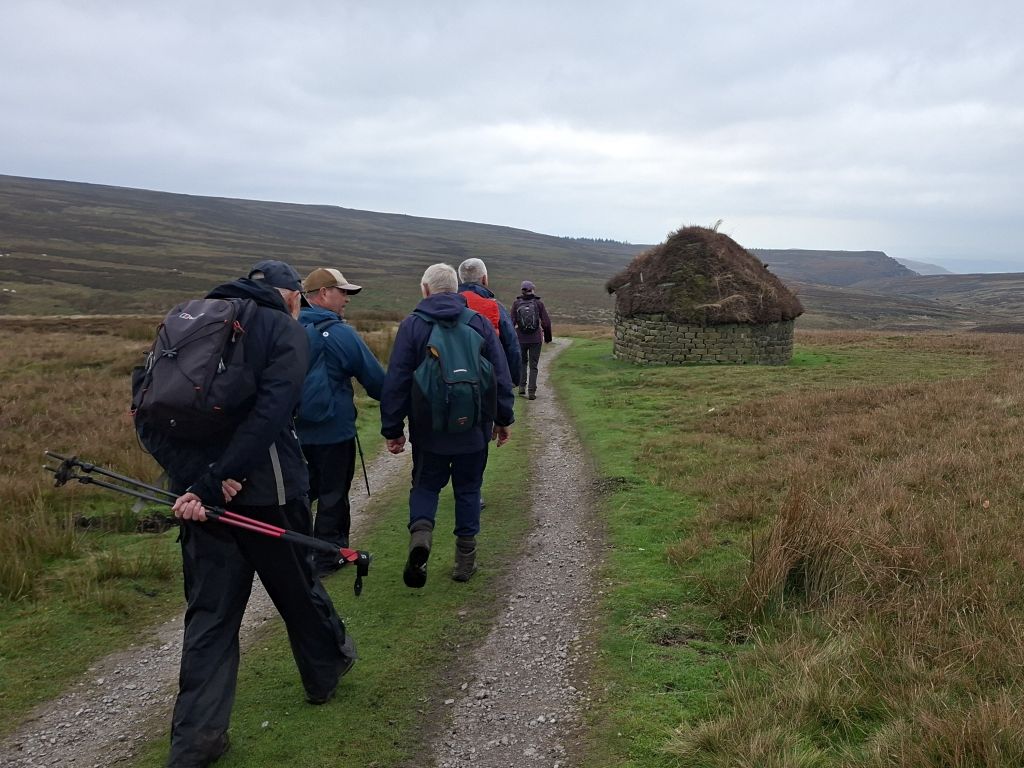
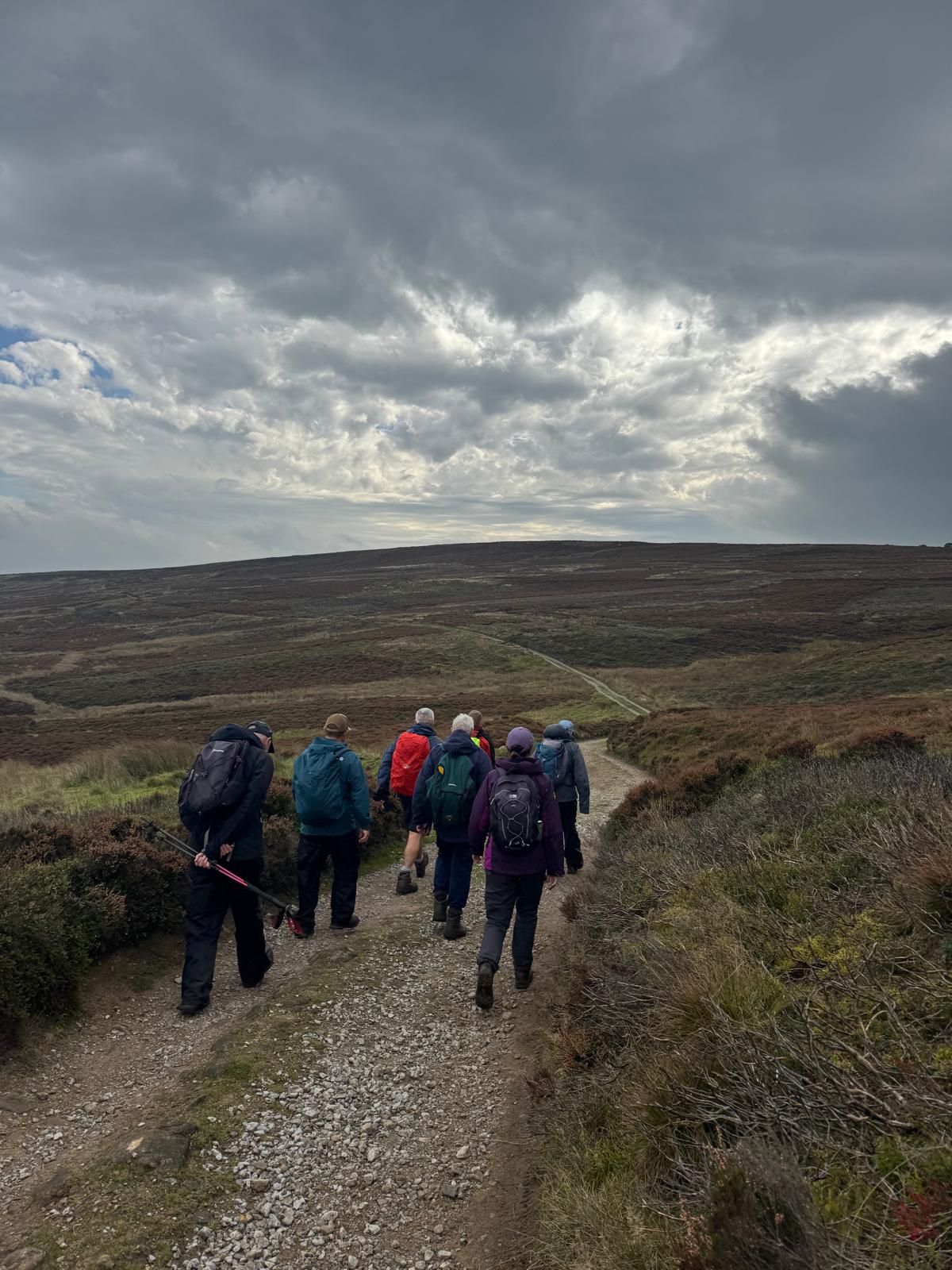
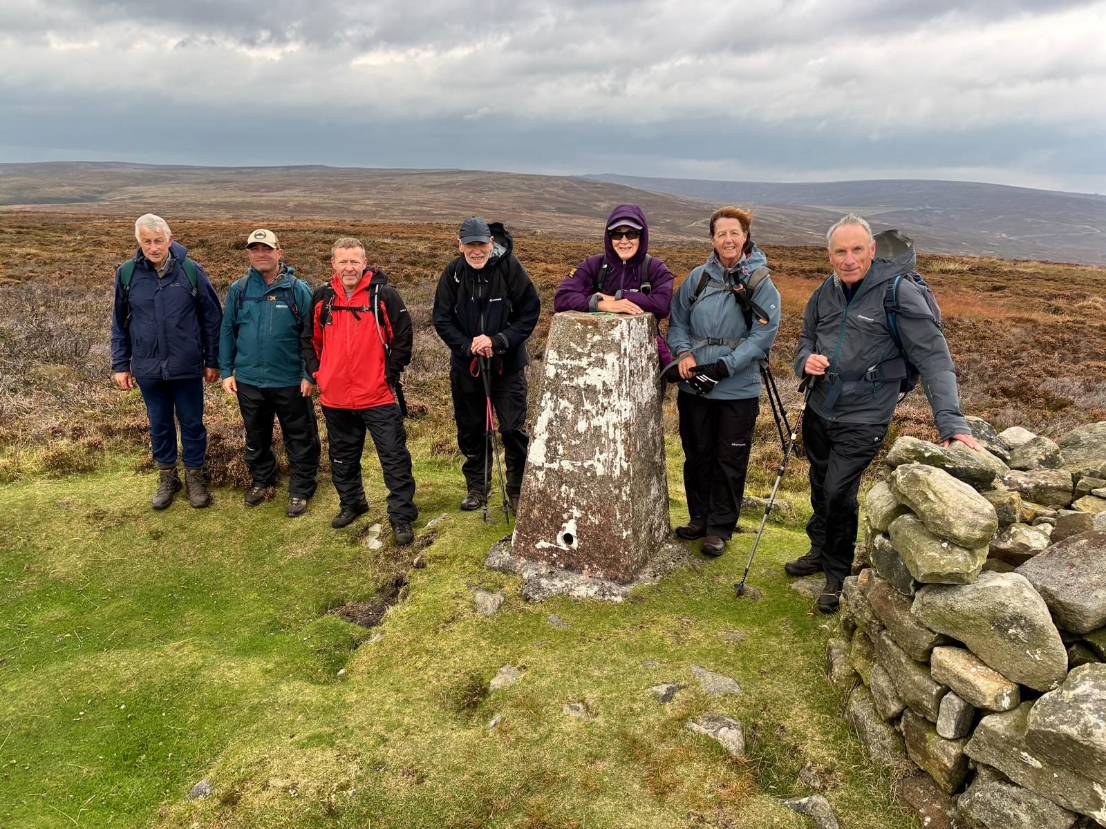

On a cool, overcast Sunday morning with rain forecast, Wayne led a group of 8 walkers on a 10.3 mile walk on the moors above Embsay, used for grouse shooting, with two climbs to trig points and a surprise place to have lunch.
Starting from Embsay village car park, we walked across fields to Embsay Reservoir, followed by a climb up to the first trig point at Crookwise Crag Top, where we stopped for the morning break. We then continued to Hellifield Crag and down across Waterfall Gill Beck. We stopped at the beck for photos, then climbed up again to cross the moor on tracks to Brown Bank for the lunch stop at a shooting lodge used for grouse shooting. After lunch, we continued on tracks across the moor and down to Halton Moor, followed by a climb up to High Crag and the second trig point. The return leg was via Easty Gate and Eastby back to the start.
After the walk, some of the group went to the Elm Tree Inn in the village for drinks.
- Details
- Category: Walk Reports 2026
Watergrove Circular
- Walk Date: 2026-09-20
- Walk Distance: 10.3 miles
- Walk Grade: Moderate
- Walk Leader: Malcolm Chester
- Number of Walkers: 11
- Weather Conditions: Dry, Windy, Sunny
Click Photo for Closeup


This Sunday's walk started from Watergrove Reservoir and the location of The Drowned Village of Watergrove near Wardle in Rochdale, a village flooded to make way for the reservoir in the 1930's. 11 walkers set out on the walk by first walking around the reservoir before climbing up the Long Causeway. The route then went through Middle Ramsden, following the Todmorden Centenial Way along the historical boundary between Yorkshire and Lancashire before continuing to Summit and returning to Watergrove Reservoir along the Pennine Bridleway. Conditions underfoot were muddy in places, but at least the sun was shining in the afternoon. After the walk, some members of the group went to The Globe Inn for drinks.
- Details
- Category: Walk Reports 2026